Professional land surveyors delivering expert topographical survey services with highly specialised survey equipment across the UK. Our survey company combines technical expertise with personalised service.
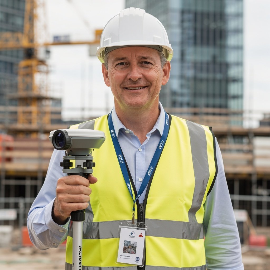
Topo Surveyor has built a reputation as one of the UK's most trusted land surveying services providers. Our topographical surveyors bring decades of combined experience carrying out topographical surveys for property buyers, sellers, developers, architects, and construction projects.
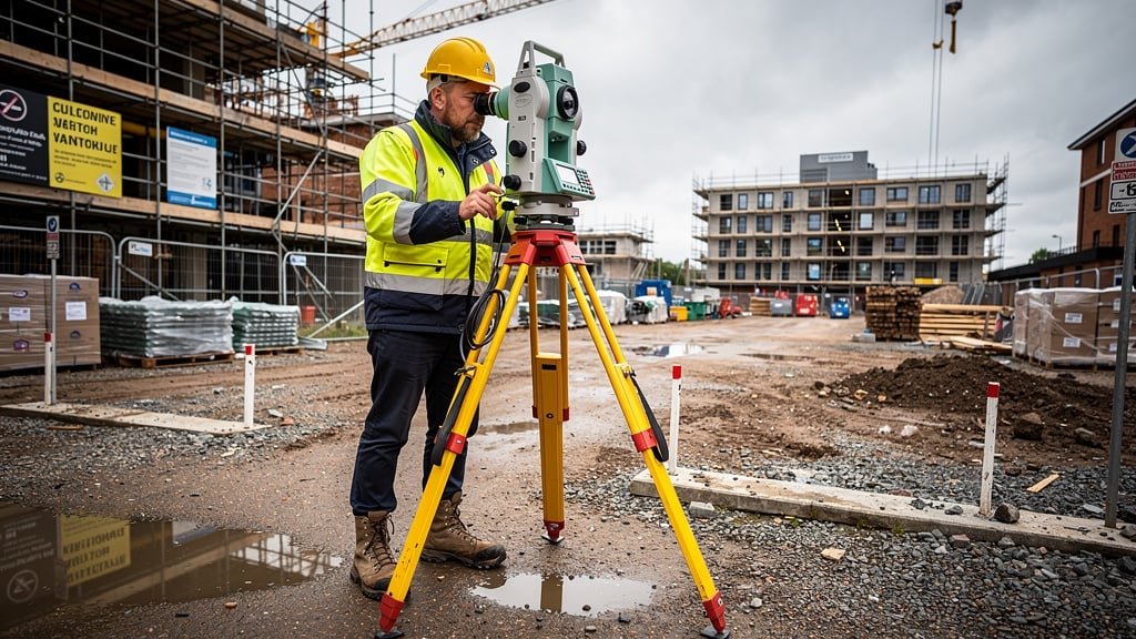
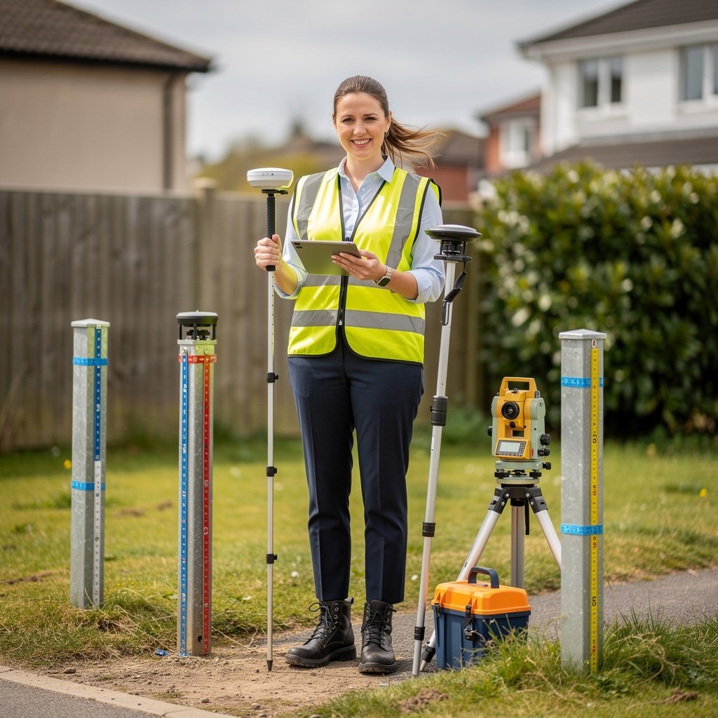
When you need a topographical survey, choosing the right survey company makes all the difference. At Topo Surveyor, our land surveyor team uses highly specialised survey equipment including total station technology, GPS systems, and laser scanning to deliver accurate measurements and detailed survey data. Whether you need a measured building survey, boundary survey, utility surveys, or comprehensive topographic land survey, our surveyor will conduct thorough investigations tailored to your specific needs.
Getting correct information early can save considerable time and reduce cost throughout any construction project or planning application. Our survey experts understand that every area of land presents unique challenges - from natural topographic features to complex man-made structures. The results of a topographical survey from our team provide architects, engineers, and developers with the level of detail they need to make informed decisions.
We're proud that our topographical surveyors hold accreditation from the industry's leading professional bodies. This commitment to excellence ensures that when you book a topographic survey with us, you're getting a survey report that meets the highest professional standards and satisfies requirements from land registry offices, local planning authorities, and Ordnance Survey specifications.
Experienced topographical surveyors dedicated to delivering excellence
Senior Land Surveyor
David brings over 15 years of hands-on fieldwork experience in topographical surveys and measured building surveys. His technical expertise in operating highly specialised survey equipment, including laser scanners and total station technology, ensures every survey captures precise measurements with exceptional accuracy. David excels in challenging site conditions and has personally completed hundreds of detailed surveys across the UK, from complex urban environments to rural boundary surveys and heritage building documentation.
Lead Topographical Surveyor
Emily specializes in complex topographic land surveys and underground utility surveys. Her attention to natural and man-made features has helped countless architects and developers understand their sites better. With expertise in CAD drawing and survey data analysis, Emily ensures the results of a topographical survey provide comprehensive insights for every planning application.
Survey Project Manager
Thomas leads project coordination and client relationships across our nationwide operations, bringing 12 years of combined surveying and management experience. He specializes in multi-phase developments, ensuring seamless communication between survey teams, clients, architects, and planning authorities. Thomas's strategic approach to survey planning helps developers obtain the right information at the right time, coordinating complex projects involving multiple survey types. His background in both fieldwork and project management allows him to anticipate challenges and deliver survey solutions that keep projects on schedule and within budget.
What sets our survey company apart
All our topographical surveyors maintain professional membership and accreditation with CIOB, RICS, and RPSA. This demonstrates our commitment to the highest standards in land surveying services. Regular professional development ensures our survey experts stay current with industry best practices and emerging survey equipment technology.
We invest in highly specialised survey equipment including the latest total station instruments, GPS positioning systems, 3D laser scanners, and ground-penetrating radar for underground utility surveys. This technology enables us to capture accurate measurements and detailed topographic features that meet modern CAD drawing standards.
When you get in touch with Topo Surveyor, you'll experience personalized service tailored to your specific needs. Whether you're a property buyer needing a boundary survey, an architect requiring detailed topographical land survey data, or a developer planning a construction project, we adapt our approach to deliver exactly what you need.
Our survey services span across the UK, with teams positioned to respond quickly to survey requests. From urban measured building surveys to rural terrain surveys, from tree surveys to drainage mapping, we offer the full spectrum of land surveying services. Book a topographic survey anywhere in the country with confidence.
Every survey undergoes rigorous quality checks before delivery. Our surveyor will conduct thorough fieldwork, but we also verify all survey data through multiple validation processes. The results of the survey are cross-referenced against Ordnance Survey standards and client specifications to ensure complete accuracy in every scaled survey drawing and contour map.
We believe honest survey cost estimates build trust. That's why we provide clear, itemized quotes with no hidden fees. Whether it's a simple boundary survey or comprehensive surveys combining multiple specialties, you'll know the investment upfront. We demonstrate how getting correct information early can reduce cost throughout your project timeline.
Choosing a land surveyor or survey company is an important decision. The quality of your topographical survey directly impacts your project's success, whether you're purchasing property or land, preparing a planning application, or managing a construction project. Here's why clients across the UK trust Topo Surveyor:
Our topographical surveyors have completed thousands of surveys across diverse environments and project types. This experience means we anticipate challenges, work efficiently, and deliver comprehensive survey reports that address every detail. When carrying out topographical surveys, we apply insights gained from years of fieldwork to ensure nothing is missed.
A topographical survey should provide actionable intelligence for your project. Our survey data includes precise contour lines, accurate mapping of natural features and man-made structures, comprehensive boundary information, drainage and utility locations, and CAD drawings ready for architect and engineer use. The level of detail in our work sets the foundation for successful development.
We understand project timelines are critical. Our survey process is streamlined for efficiency without compromising quality. Most topographic land surveys are completed within days, not weeks. When you need a survey urgently for a planning application deadline or construction project milestone, we prioritize your timeline to deliver results when you need them.
Our relationship doesn't end when we deliver the survey report. We provide ongoing support to help interpret survey data, answer questions from architects or solicitors, and clarify any aspect of the topographical survey results. If additional survey information is needed, our surveyor will conduct follow-up site visits to ensure your complete satisfaction.
While survey cost is a consideration, the true value lies in getting correct information early. Poor or incomplete survey data can lead to costly project delays, design revisions, or construction surprises. Investing in professional land surveying services from the start will save considerable time and reduce cost in the long run. Our competitive pricing reflects fair value for expert work that stands up to scrutiny.
Get in touch today to discuss your survey requirements